Cloud's Rest - The Best Hike In Yosemite
The story of barely getting a campsite and hiking 16 miles the next day, finishing 1,000 feet above Half Dome.
Yosemite’s Cloud’s Rest gives you one of the best views in the entire valley. However, this view doesn’t come easily with a 14.5 mile hike and 1,775 feet of elevation gain standing in your way. While difficult, the hike is enjoyable with good views along the way, a decent amount of shade and a few places to fill up water. With those and the phenomenal view, there is more than enough motivation for the hike to be worth it. Finishing 1,000 feet above Half Dome, you get an unobstructed, 360 degree view of the entire valley and surrounding Desolation Wilderness.
The story begins Friday, right after school. My three friends and I packed up my small Ford Fiesta and set off for Yosemite. Barely big enough to fit the four of us and our gear, the 3 hour drive was cramped but conversations and scenery along the way made it enjoyable. We we’re told that White Wolf was the campground to go to as it gets less traffic and should be open. After hiking us and our gear past the locked gate, a mile to the campsite, we found two rangers who told us the campsite was closed and we needed to stay somewhere else.
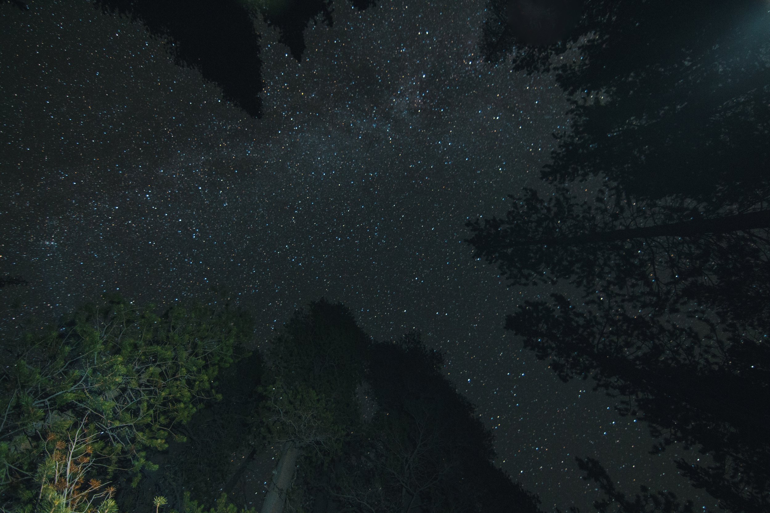
With no campsite at 8pm on a three day weekend, every campsite we visited was full. Eventually we decided to try our luck and ask someone if we could share their campsite. We asked two Australians and to our surprise they said yes! We quickly pitched our tent in the dark, made dinner and enjoyed the campfire. With no light pollution the stars were bright and beautiful. After hanging out at the campfire and watching the stars we went to bed. The tent was cold despite us having good sleeping bags and being packed in the tent.
Wewoke up early the next morning, made oatmeal for breakfast and we’re on our way. It was a short drive to Tenaya Lake and after packing our water and lunches we started the hike. It begins pretty flat and easy. A nice warm-up for the rest of the hike. A few miles in you begin climbing a steep hill with lots of switchbacks. After a mile of climbing you summit a decent sized hill and being to descend. Although it feels like you are losing all of your progress, you climbed a lot more then you descend. There is another flat section and then the trail starts gaining elevation until the top. For the last quarter mile or so the trail turns in to a thirty foot wide patch of granite with drop offs on either side.
At this point you will let nothing stand between you and the top of the mountain. The amazing views were giving us the final payoff for all of the hiking we had done. We sat down and ate lunch while enjoying the views.
After lunch and photos we packed up and headed back. We had a quick snowball fight in a small patch of snow a mile from the summit. Once we we’re done fooling around, we started our push to the car. Summiting the hill near the start was the last difficult part we had to complete. Standing on top we knew there was only downhill from here. Before we knew it, we we’re at the car. We packed up and headed home, making sure to get In-N-Out on the way home.


